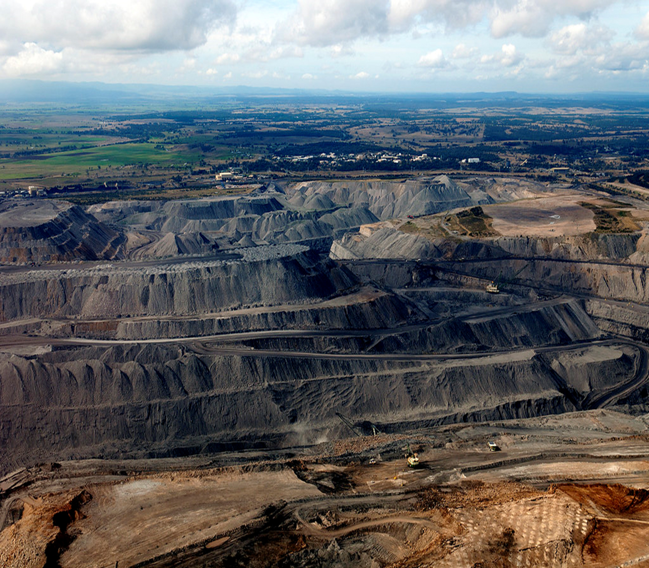
Red Edge Resources are equipped with the latest technology to assist in mass data capture from above as well as on the ground.
- Project progress
- Cost effective feasibility imagery and terrain models
- Ideal for fast economic volumetric surveys for the resources industries
- Baseline data for Vegetation Mapping; Interval mapping of both the Built and Natural environments
- Broad area data capture to large scale detail surveys
- High resolution Imagery and video

